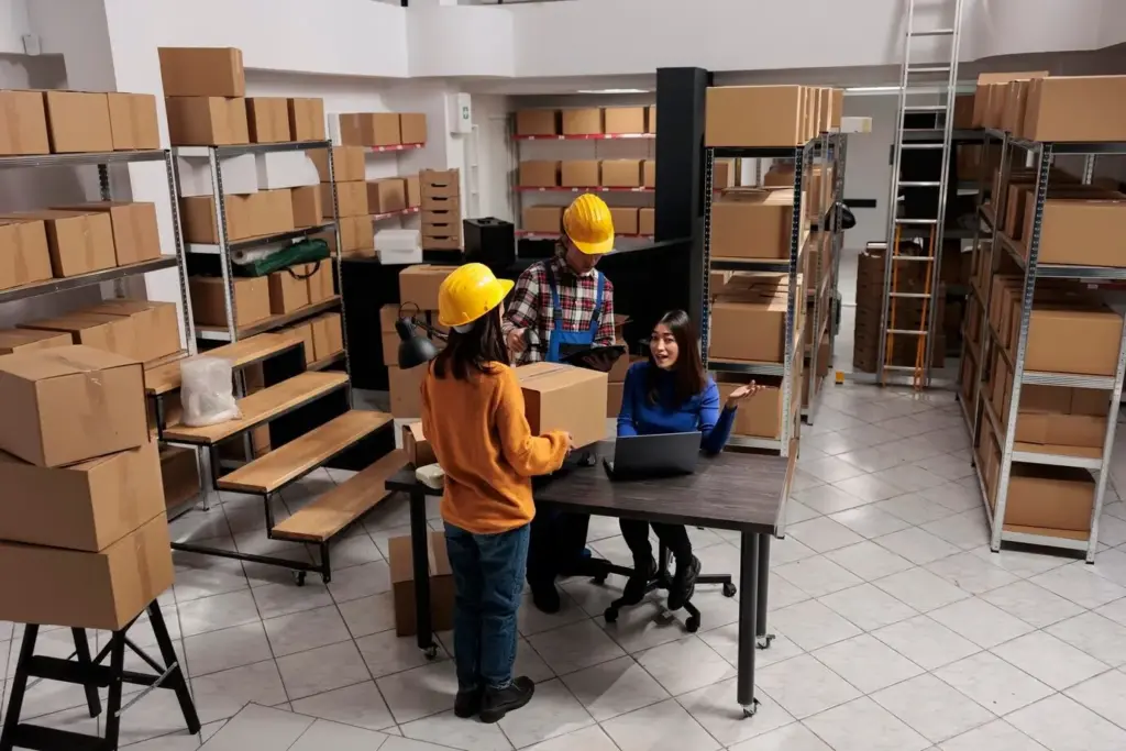
Navigate Every Aisle With Confidence

Today we dive into Interactive Warehouse Space Mapping, bringing your facility to life as a living, clickable map that reflects reality in real time. Explore how layered data, precise geometry, and intuitive visuals align people, processes, and inventory, helping teams shorten walks, prevent congestion, and unlock measurable throughput gains without guesswork.

Mapping Foundations for Modern Warehouses

Before fancy overlays and real-time dots, accuracy matters. Build a reliable base map that respects true measurements, aisle widths, rack heights, and safety clearances, so every decision rests on solid ground. When the foundation is precise, every optimization, simulation, and operational conversation becomes clearer, faster, and far more actionable for leaders and associates alike.

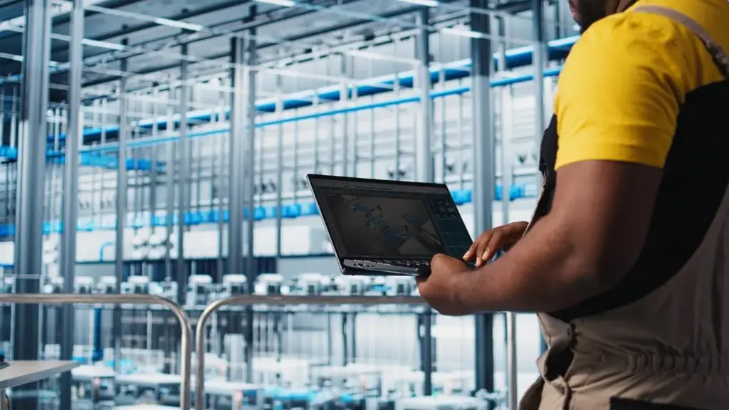
Live Data Layers and Sensor Fusion

A static floor plan becomes powerful when enriched with live signals. Blend RFID reads, BLE beacons, barcode scans, and equipment telemetry to visualize motion, dwell, and flow. Sensor fusion smooths noise, creates confident positions, and turns activity into insights your supervisors can trust at a glance during peak hours and critical replenishment windows.

RFID and BLE Triangulation That Makes Sense

Combine fixed readers, handhelds, and tags to illuminate item movement and labor patterns. Calibrate BLE anchors carefully, validate line-of-sight assumptions, and smooth noisy edges with confidence scoring. The result is a map that shows meaningful presence, not dots randomly jumping, enabling quicker recovery of misplaced goods and more precise labor balancing across zones.

Cameras, LiDAR, and Edge Inference

When privacy policies allow, pair depth sensors and cameras with edge models to detect pallets, pedestrians, and forklifts without streaming endless footage. Process locally, send events, and keep only what matters. You’ll gain crisp zone occupancy signals, richer congestion detection, and proactive alerts that prevent bottlenecks before they cascade across adjacent pick lanes and staging rows.

Heatmaps and Dwell-Time Overlays

Turn raw coordinates into stories using time-weighted heatmaps that reveal choke points, idle equipment, and underused corners. Dwell overlays show where orders linger, where forklifts queue, and where pickers hesitate. These patterns guide rack moves, path changes, and staffing plans, making continuous improvement visible, measurable, and motivational for teams seeking quick operational wins.

Pathfinding, Slotting, and Space Optimization

Pick-Path Optimization That Respects Reality

Go beyond straight-line calculations by modeling turning radii, blocked ends, and real aisle widths. Factor multi-stop sequences, batch picks, and zone picking complexities. When routes mirror reality, walking drops, errors fall, and morale improves because associates feel the plan reflects their lived experience rather than an abstract algorithm that ignores daily floor constraints.

Intelligent Slotting for Velocity and Ergonomics

Use order history, cube data, and co-pick patterns to place items where hands naturally reach and congestion stays low. The map helps visualize families, golden zones, and travel tradeoffs. When slotting aligns with movement, damage decreases, replenishment eases, and throughput rises without expanding the building, protecting budgets while elevating worker comfort and safety.

Seasonal Peaks and Flexible Reconfiguration

Plan for volatility by saving scenarios and simulating demand spikes. Test temporary fast lanes, cross-dock zones, or pop-up packing cells. Interactive mapping lets teams rehearse changes, quantify impact, and deploy confidently. After peak, revert with a click, analyze outcomes, and capture playbooks so next season’s stresses become smoother, calmer, and surprisingly more predictable for everyone.

Safety, Compliance, and Risk Visualization

Safety is strongest when it is visible. Layer speed limits, pedestrian corridors, battery rooms, and hazmat storage clearly on the map. Tie alerts to zones, not inboxes, so interventions happen on the floor. When risk is intuitive to see, teams respond earlier, near-misses drop, and audits become conversations backed by evidence and shared understanding.

APIs, Webhooks, and Event Streams

Expose endpoints for location updates, task creation, and exception flags. Consume scans, telemetry, and movement events with consistent schemas. When the map becomes both a source and a sink of truth, orchestration gets easier, automations become reliable, and downstream tools stop guessing about where people, pallets, and opportunities actually are at critical moments.

Master Data Alignment Without Friction

Keep item, location, and resource dictionaries synchronized to avoid duplicate labels and mismatched slots. Enforce ID conventions within integrations so map pins, rack positions, and WMS lists always agree. Clean master data turns visual decisions into executed tasks, eliminating rework and argument cycles that drain energy from supervisors during busy waves and audits.

Governance for a Trustworthy Digital Twin

Define ownership for map edits, sensor calibration, and data retention. Schedule recurring validations and change logs. Clear governance keeps the twin authoritative, avoids shadow updates, and helps every department contribute responsibly. When people trust the representation, they use it daily, turning the visualization into an indispensable operational backbone rather than a novelty dashboard viewed occasionally.

Metrics, Experiments, and Continuous Improvement

Interactive views invite experimentation. Track baselines, run A/B tests on routes and layouts, and visualize results on the same map where decisions begin. Celebrate wins, document plays, and keep learning cycles short. Momentum builds as teams see tangible progress, transforming continuous improvement from a slogan into a daily, shared accountability embraced across shifts.
Fikovevonutuxomoxoni
Privacy Overview

This website uses cookies so that we can provide you with the best user experience possible. Cookie information is stored in your browser and performs functions such as recognising you when you return to our website and helping our team to understand which sections of the website you find most interesting and useful.